1851 Map by Joseph Howell
1873 Carlinville Map
1875 Township Map
1876 Illinois Atlas
1879
Dorchester Township
Plat Map
1892 Railroad Map
Legend
1895 Rand McNally
1897 Galbraith Railroad Map
1897 Carlinville Plat Map
huge 12MB-size
1940
Illinois Terminal Railroad
Edwards Trace Maps
courtesy of Tracy L. Garrison, GIS Manager, PLS

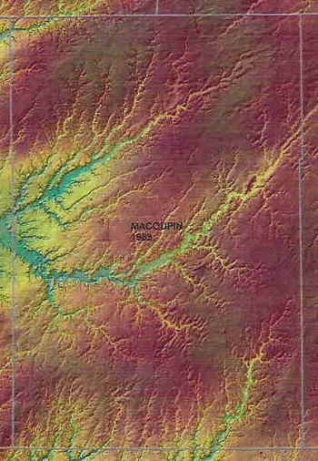
1989 Elevation Map
2001 General Highway Map
Coal Mines
Newburgh
from M. Trover